When the Fence Line Lies: Reading Title Plans Before a Boundary Row Begins

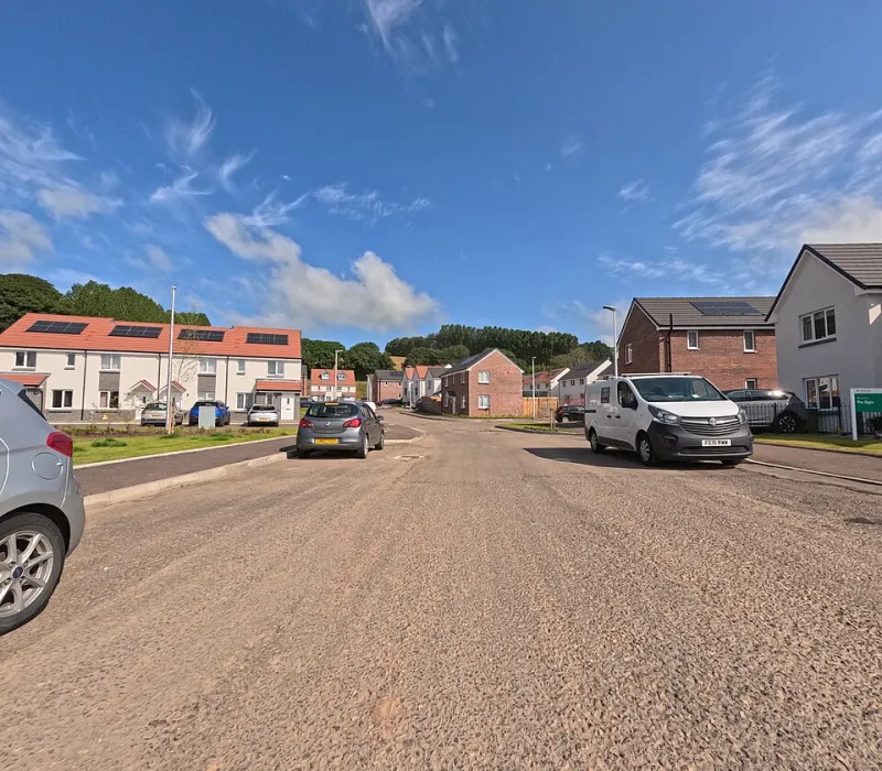
Photo: Ethan Doyle White, CC BY-SA 4.0, via Wikimedia Commons
A frequent scene in UK conveyancing: a buyer stands in the back garden, compares the pink-edged title plan with the fence in front of them, and concludes the neighbour has taken a strip of land. In most cases, they have concluded no such thing. What they have discovered is the gap between what a title plan is designed to do and what buyers assume it does — a gap that generates thousands of avoidable disputes every year.
What a Title Plan Actually Promises
Every registered title at HM Land Registry comes with a plan, usually based on Ordnance Survey mapping, with the general boundaries of the land marked in red. What the plan does not do is fix the precise legal boundary line. Unless the title plan has been determined under section 98 of the Land Registration Act 2002 — a rare event — the general boundaries rule applies. In plain terms, the boundary on the plan is indicative only, and the true line may sit anywhere within the thickness of the red edging.
This is not an oversight. It is a deliberate feature of the system, allowing for the reality that walls have width, hedges have roots, and fences are replaced over decades. The consequence, however, is that a title plan will almost never settle an argument on its own. Anyone who tells you the plan "proves" the fence is in the wrong place has usually misread the document.
The Documents That Do the Heavy Lifting
When a boundary is genuinely in question, the evidence hierarchy matters. The most persuasive materials tend to be:
- The oldest conveyance or transfer with an attached plan. Pre-registration deeds, particularly those with measured boundary plans prepared for a specific parcel of land, often carry more weight than the modern register. The rule of thumb among surveyors: the earliest document describing the land usually prevails.
- Conveyance plans drawn to scale. A dimensioned plan prepared at the time of an original sale can fix a boundary precisely, even where the current title plan is vague.
- Statutory declarations and witness statements. Long-standing occupation, maintenance of a feature, or an agreed previous alignment can establish boundary by acquiescence, particularly where the limitation period under the Limitation Act 1980 may have run.
- Aerial imagery and historic photographs. Useful for tracing when a feature moved, though rarely conclusive on their own.
Why the Dispute Often Isn't About the Land
Experienced property litigators will tell you that most boundary rows are proxy arguments — about access, noise, overhanging trees or the cost of a shared wall. The disputed strip is frequently worth a fraction of the legal fees it generates. Before commissioning evidence, it is worth asking honestly whether the disagreement is really about the boundary at all, and whether a conversation, facilitated by a solicitor or community mediation service, might resolve it for the price of a letter.
Practical Steps Before It Escalates
If a genuine uncertainty exists, the sequence that serves buyers and owners best is straightforward:
- Order the title plans and registers for both properties from HM Land Registry for a modest fee. Compare them, noting where the red edgings diverge.
- Locate the root of title and any pre-registration deeds. These sometimes survive in a solicitor's archive or a family file.
- Instruct a chartered surveyor experienced in boundary demarcation to produce a reasoned report. A joint instruction with the neighbour, splitting the fee, is common and keeps the exercise collaborative.
- Consider a boundary agreement. Where both parties accept a line, a deed of boundary agreement can be lodged with HM Land Registry, fixing the position for future owners.
- Only then consider litigation. The First-tier Tribunal (Property Chamber) and county courts deal with these matters, but costs routinely exceed the value of the land in dispute.
Build It Into the Conveyance
For buyers, the lesson is preventive. Ask your conveyancer early whether the title plan shows a determined boundary, whether the deeds contain any boundary structure obligations (who maintains the fence, wall or hedge), and whether any T-mark notation on the plan indicates maintenance responsibility. A few pointed questions before exchange cost nothing; a boundary dispute after completion rarely costs less than four figures.
The title plan is a map of an approximation, not a surveyor's measurement. Treat it as the start of the conversation about boundaries, never the end of one.